Bob Foos
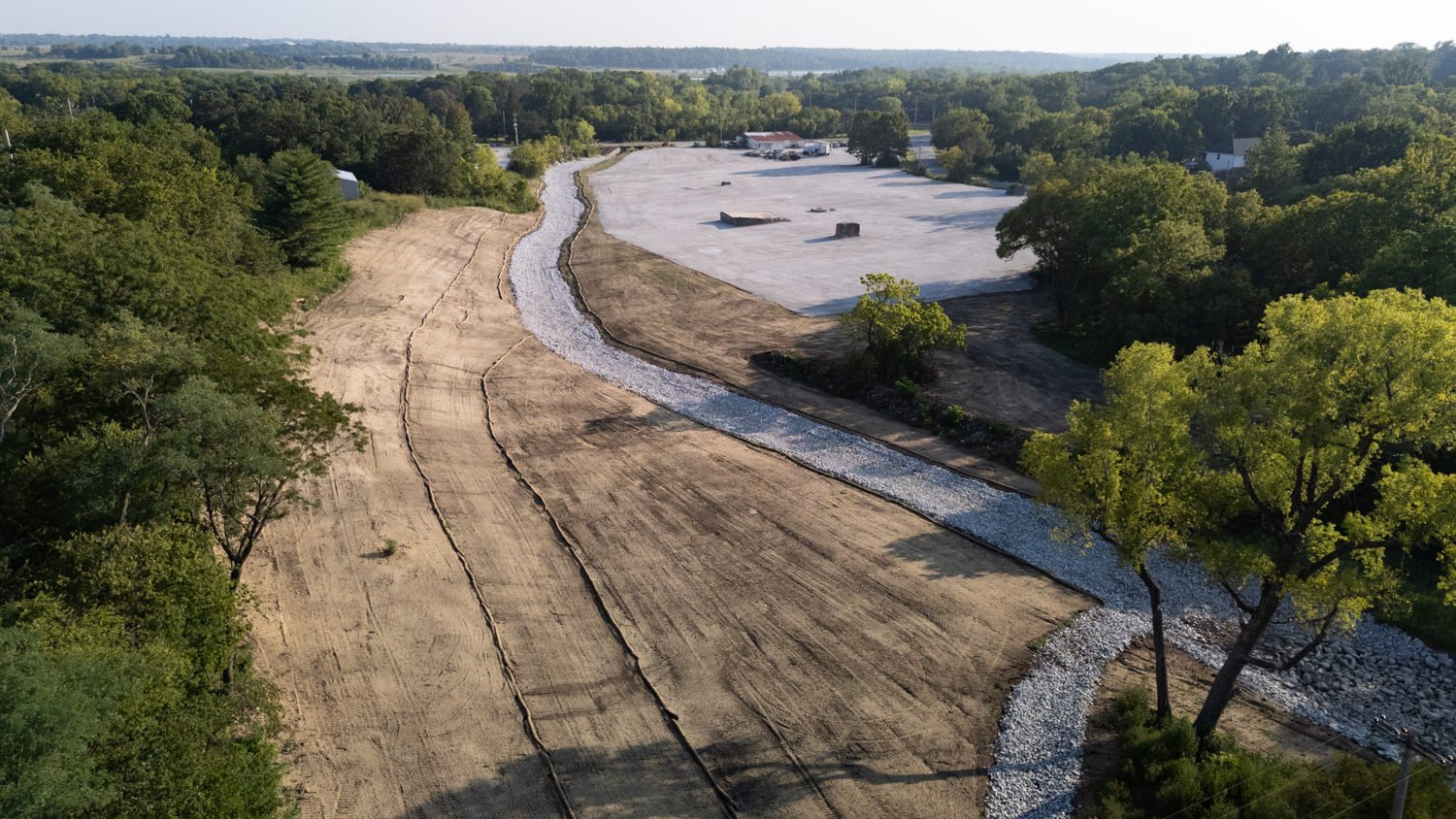
The Environmental Protection Agency has completed the remediation of a contaminated section of land in the heart of Oronogo.
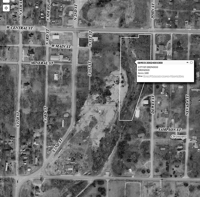
Designated as the 2nd and Ivy work area by the EPA, the area lies behind the post office, between Second and Dewey streets and runs from Central Street south to Ivy Road. You could also say it lies northeast of the 5-way intersection, where County Road 230 (North Madison Street) meets Ivy Road.
For more than a year, the EPA’s contractor has excavated, consolidated and disposed of minewaste, contaminated soil and contaminated sediments within the area. Two mineshafts, which the EPA determined posed significant physical risks to people in the area, were capped in the process.
In total, EPA’s site team reports that 119,355 cubic yards were cleaned up, thus reducing the risk of exposure to lead, cadmium and zinc to human health (in particular, children) and the environment.
The city of Oronogo owns 3.8 acres on the northeast corner of the site. The rest is privately owned.

Five acres, including the city-owned property, have been revegetated. The rest is covered with gravel. Several foundations from the mining era remain on the site.
The city has not announced any intended use for its property within the site. Tony Cantrell, superintendent of public works, is preparing a request for the EPA to reimburse the city for expenses necessary to repair First Street.
The EPA has previously remediated acres of contaminated land on the north side of Central Street in Oronogo.
This entire area is within the Oronogo-Duenweg Mining Belt Superfund site, which is part of the Tri-State Mining District.