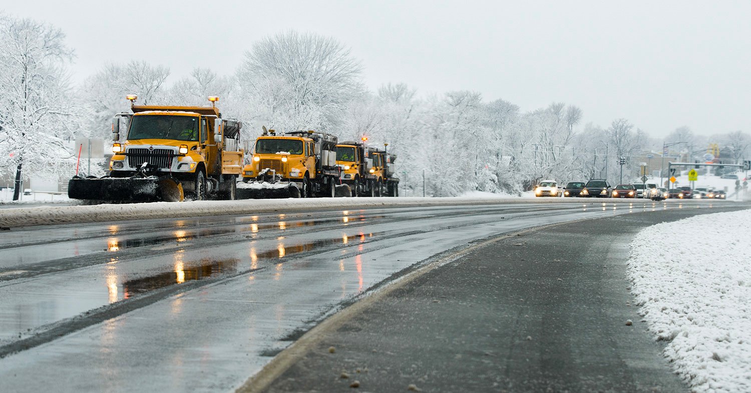
A winter storm watch – with periods of moderate to heavy snow – has been issued for our area from noon Friday until noon Sunday.
According to the National Weather Service, it’s supposed to start snowing Friday afternoon.
Chances of snow will increase to 80% Friday night and 90% on Saturday.
Accumulations of 6 to 9 inches are possible, especially south of I-44.
The 24-degree high on Friday will seem warm on Saturday, when the high will only be 13 degrees.
It will only warm up to 16 degrees on Sunday, when the snow should end in the afternoon.
Wind-chill values will drop below zero, adding to the safety threat if vehicles become stranded.